


How we got there
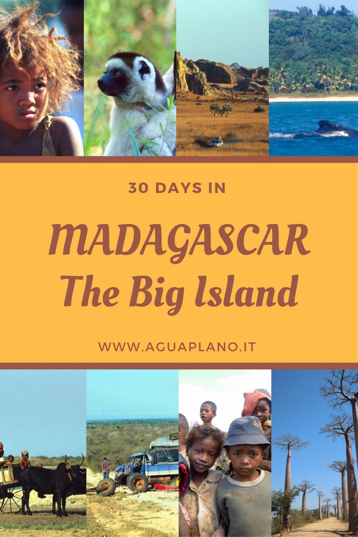
Tsiribihina, Madagascar: our special destination. Although Madagascar is a popular destination among travellers if you ask people who “think” they have visited it to tell you about it, most of them will tell you about some islands in the northwest of the country – magnificent – but that are became so touristy that no longer have anything true and unique. We have traveled Madagascar excluding those islands. Going to places that only this big island-continent has to offer. One of those places is the Tsiribihina River.
INFO
-
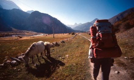
Tanà – Antsirabe, about 169 km, 3,5 hours by car
-
Antsirabe – Miandrivazo, about 246 km , 4 hours by car
-
navigation on the river by canoe – 3/4 days – 130 km total
Background

Where it is & how to get there
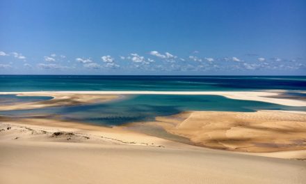
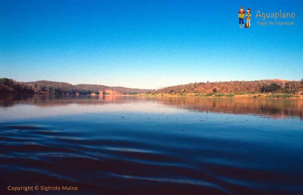
The Tsriribihina River originates in central Madagascar, near the city of Miandrivazo, from the confluence of the rivers Mahajilo and Mania. On its way, it first crosses the Bongolava plains and the Bemaraha gorges and then flows through the fertile Menabe plain where it forms small lakes and large swamps. It ends with a large delta, into the Mozambique Channel, 50 km north of Morondava. At the end of the descent you can continue onto Morondava by Taxi Brousse
Tsiribihina
Places not to miss
-
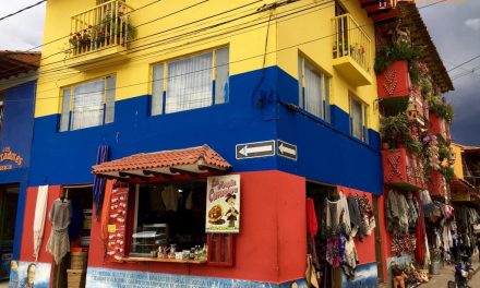
Miandrivazo Village
-
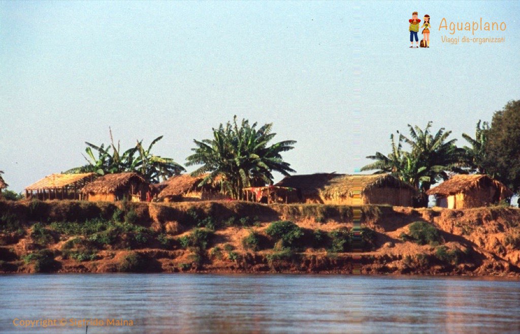
Sakalava Villages
-
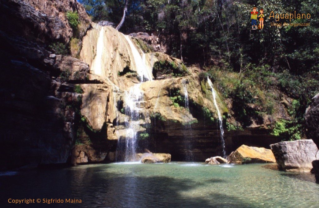
Anosin’ Ampela Waterfalls
-
Gorge of Bemaraha
-
Forest and River inside
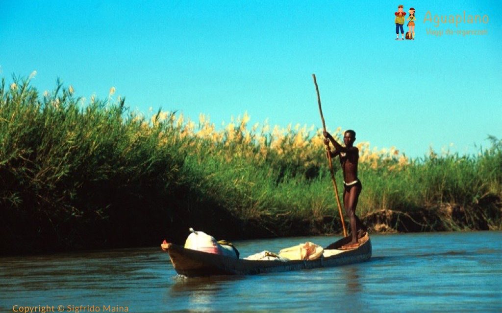
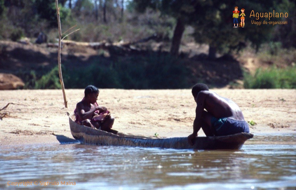
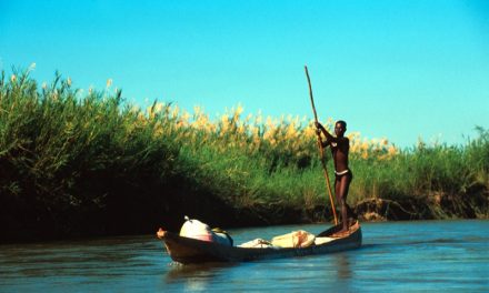
The canoe descent of the Tsiribihina, Madagascar, can be done from Miandrivazo to the Bemaraha gorges, and in the summer to Bongolava. It is navigable in every season. In some stretches the river reaches a width of 4-5 km. But be careful: the descent of the river can be more difficult during the dry season – from the beginning of August – due to the low water level.
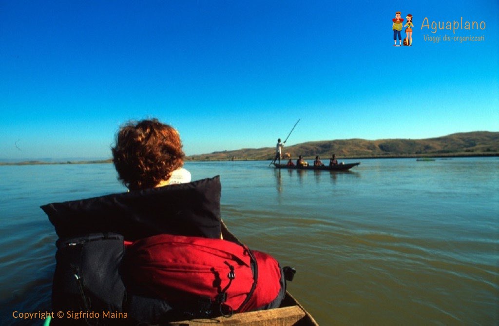
You embark on the Mahajilo River just outside the town of Miandrivazo. After the first 30 km of navigation this river flows into the Tsiribihina. On a good navigation days, around 130 km are covered
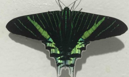
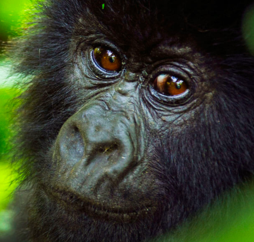
On the way you will find lush forests, dry and desert areas, steep rock faces, small sandy beaches. The descent of the river will allow you to meet and spot lemurs, crocodiles, chameleons, water turtles as well as an incredible variety of birds and fish such as the Kingfisher or the eagles, parrots, herons and ducks.
Along the way you can make numerous stops to venture into treks that lead to waterfalls (Anosin ‘Ampela), gorge (Gorge of Bemaraha) and tiny Sakalava villages isolated from the rest of the world.
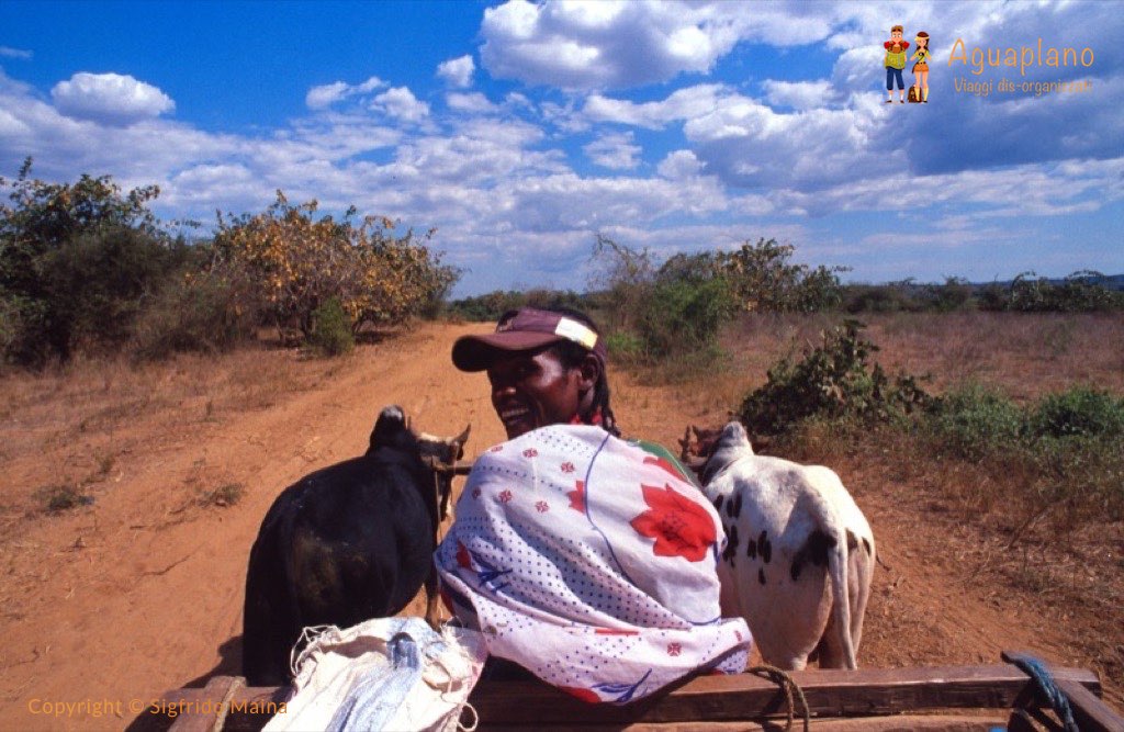
At the end of the journey on the river, the village of Antsiraraka is reached by a cart pulled by a zebu. Here you find accommodation in small bungalows and the following day you reach Morondava with two subsequent runs of Taxi Brousse at a very popular price in the face of a very uncomfortable trip! Along the way, the stop at the Avenue du Baobab and the Boabab des Amoreax is a must …
Where to eat and sleep
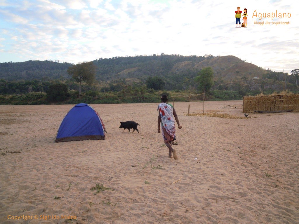
If you choose, as we advise, to do the descent of the river Tsiribihina, Madagascar in pirogue (canoe) and not with the motor boats is that for the three or four days of travel you do not need to look for anything. During the day you paddle along the river. Stopping from time to time to eat and/or to to an excursion to a waterfall or a village nearby. Together with you there will be two people (Guide and Cook) who have everything you need. You only need your backpack and a sleeping bag. The itinerary in pirogue has from 2 to 3 overnight stays in tent along the river; the meals will be cooked by the cook who will accompany you they set everything up from tent to campfire to laughter and singing. Navigating on traditional rowing canoes requires a good spirit of adaptation. Remember to bring sun protection, waterproof jackets and towels to protect your backpacks. Plenty of food, water, tent and firewood will be in the pirogue. You only have to think in advance if you want to buy extra (beer – extra food…) before leaving

Tsiribihina River
in summary
- Easy —> Difficult 50%
- Cheap —> Expensive 30%
- How crowded it is? 20%
Save it on Pinterest!

Last Comments