
Central America
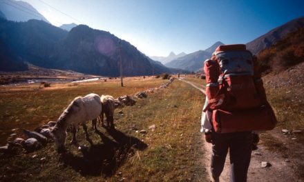
Central America: how to visit most of the region in 30 days! Diary of a crazy ride through 7 countries form Guatemala to Panama.
Read More

 English
Central America: how to visit most of the region in 30 days! Diary of a crazy ride through 7 countries form Guatemala to Panama.
Read More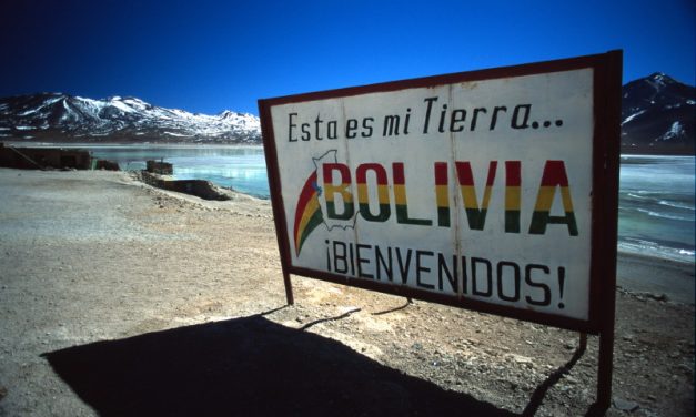

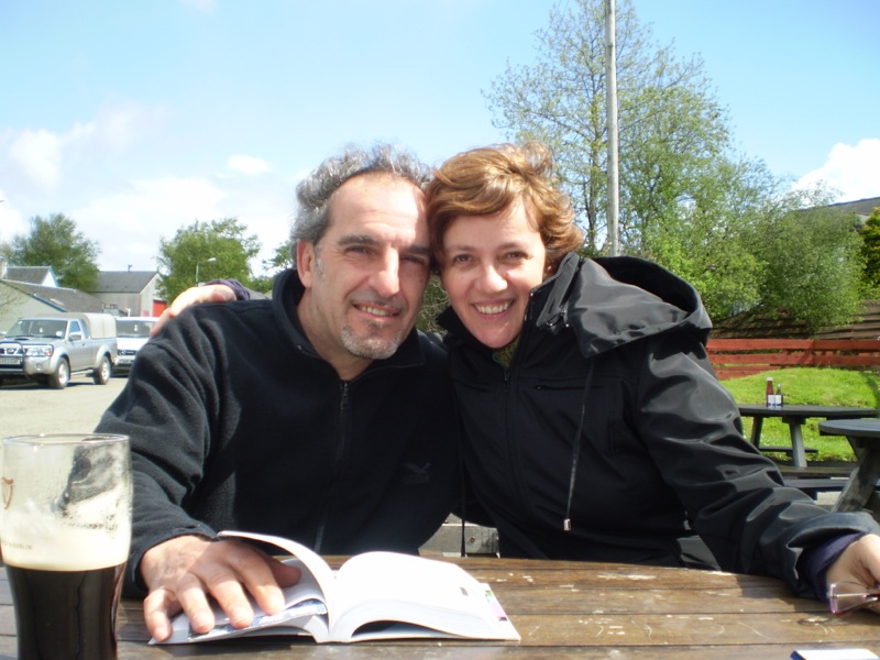
Howdy! We are Valeria & Sigfrido, we have been backpacking together for almost 20 years visiting more than 65 Countries.
Our blog has been around for more than ten years now. We want to help people discover new destinations, and give infos, suggestions, tips and tricks about independent travel. We speak Italian, English, Spanish and French. Follow us!
Last Comments